Surveying

Surveying Southland since 1955

Subdivisions and
Boundary Definition

Mobirise

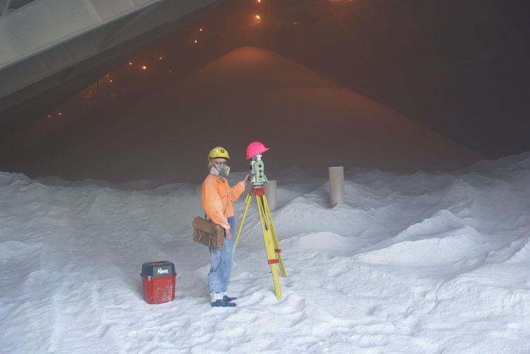
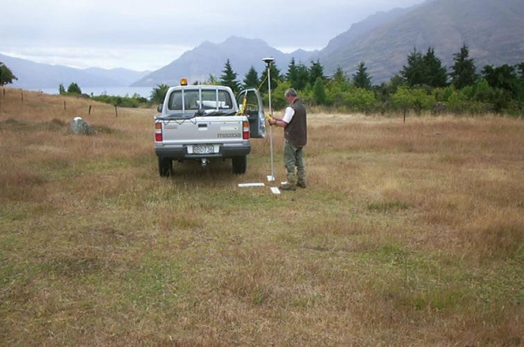
Ralph Moir Limited's surveyors have been surveying Southland since 1955.
From boundary definition, through to small subdivisions and large developments, our experienced surveyors can provide complete survey services and guide you through the whole process.

Aerial Photography

Mobirise

Using the Solo 3DR drone we are able to undertake a range of aerial applications including:
- Large or small scale orthophotography;
- Farm mapping;
- Contour mapping;
- Stockpile quality surveys;
- Detailed point cloud production.

Precise Laser Scanning

Mobirise

Using the Leica MS50 total station/laser scanner we are able to carry out precise surveys of complex structures.
The scanneer pictured (right) is carrying out a stockpile survey in the aluma store at the NZAS Tiwai Point Aluminium Smelter.


GPS Survey Technology

Mobirise

The advantages of GPS technology for surveying was something our surveyors realised right from the start. Ralph Moir Limited was one of the first private survey firms in New Zealand to acquire GSP Survey Technology when it was developed in the 1990s.

Page was created with Mobirise site templates